
Archimedes is quoted as saying “Give me a lever long enough, and I shall move the world.” While I am not looking to move the world, I am interested in leveraging our resources to better serve our residents. Whenever I read reports of natural disasters like Hurricane Michael, my thoughts immediately turn to Pierce County and the potential disasters we may face, with winter storms and flooding being foremost in my mind.
I am a strong advocate for using technology as a lever to make our work better, faster, less expensive, and safer. A perfect example of this is the County’s use of drone technology. One look at the devices in action and you can quickly realize the potential benefits of using the “eyes in the sky.”
I recently joined our drone pilots at Planning and Public Works and had the opportunity to learn more about how drone technology is revolutionizing some of their tasks – in this case, around ensuring our levees are ready to head off potential flooding.
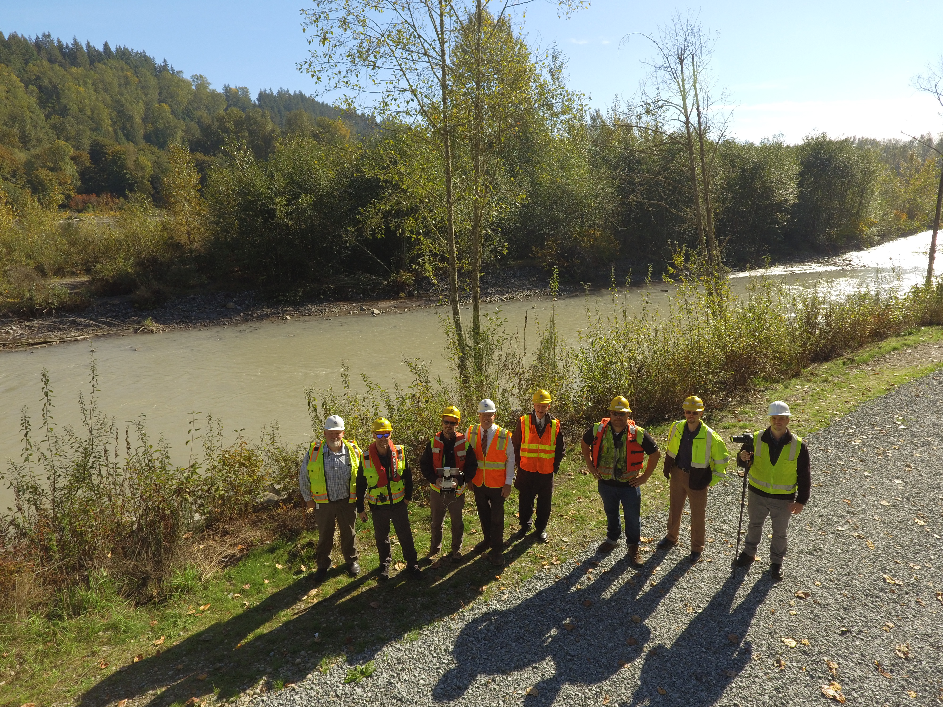
Our Surface Water Management team must pay close attention to the condition of the levee including carefully inspecting them for any changes in its condition. We must report those findings to the Army Corps of Engineers.
Previously, these inspections were very challenging, risky and limited. Our employees had to scramble the banks of the levee, through vegetation, weather and other obstacles. In many cases, a thorough inspection for the Corps meant we would need to severely cut back vegetation to improve visibility of the levee and its condition.
But, here lies the rub. That very same foliage and vegetation enhance the salmon’s ability to survive and spawn in the river. The overhang supports an optimal water temperature that sport fishermen and the Puyallup Tribe depend on.
How do we resolve this dilemma? One smart way to do this is by having our PPW pilots fly a drone over the levee.
Our pilots can safely gather information that doesn’t require removing vegetation. The drone can also capture more thorough, higher-quality images. In the near future, I can see our drones being equipped with LIDAR to even more effectively assess our levees.
Using technology in this manner leverages the smartest features of a drone and combines it with interesting, challenging work for our employees. A drone is a great tool that augments our employees’ work; it doesn’t replace it.
Whether it’s surveying a river for the Corps or assessing damage from a natural disaster, we want to have every reasonable tool at our disposal. That way we can do the best assessments at the right time and protect our employees and citizens.
Drone technology, used appropriately, is one lever we can use to move Pierce County forward. Can you think of other “levers” we can use?
Thanks for reading,

Bruce